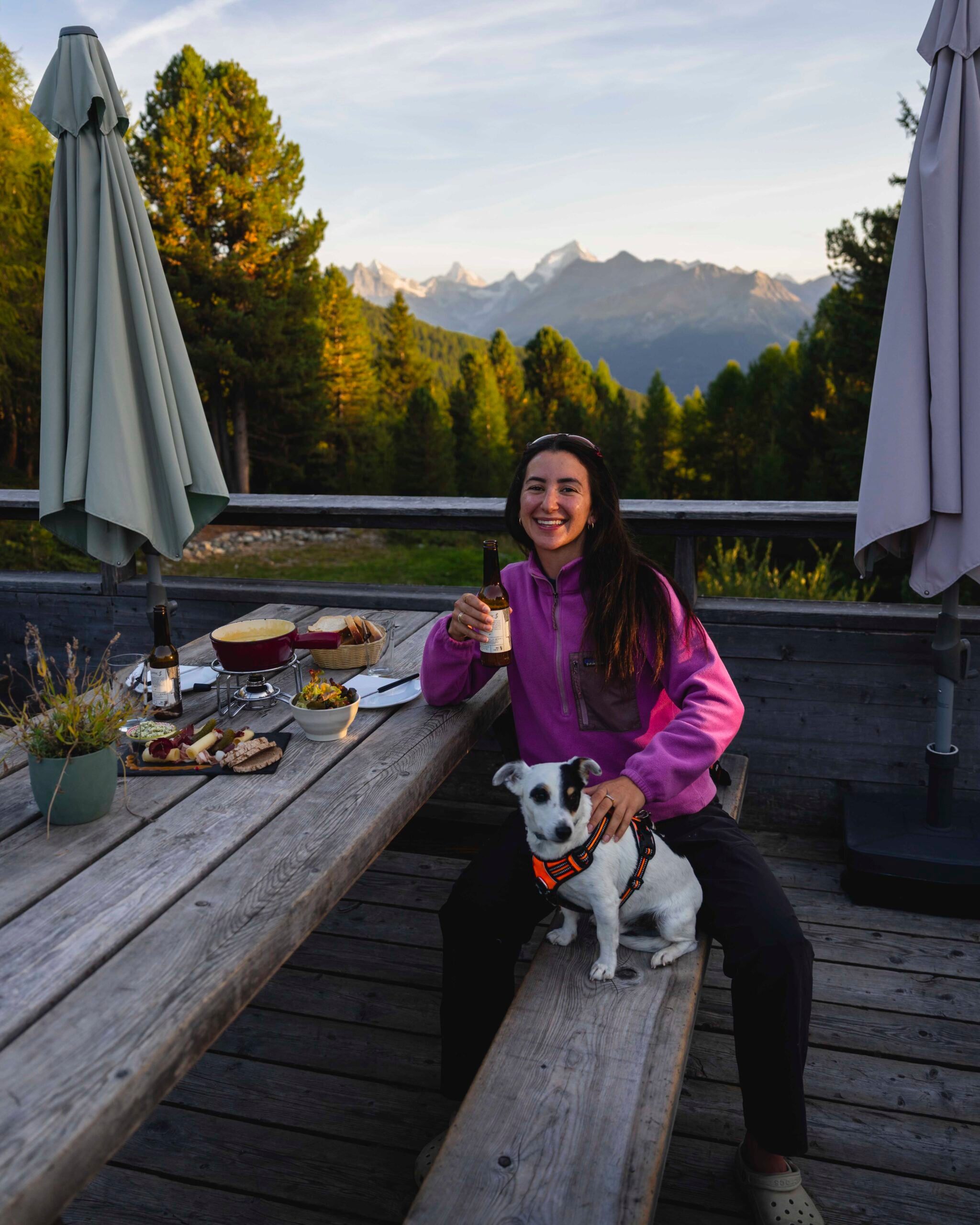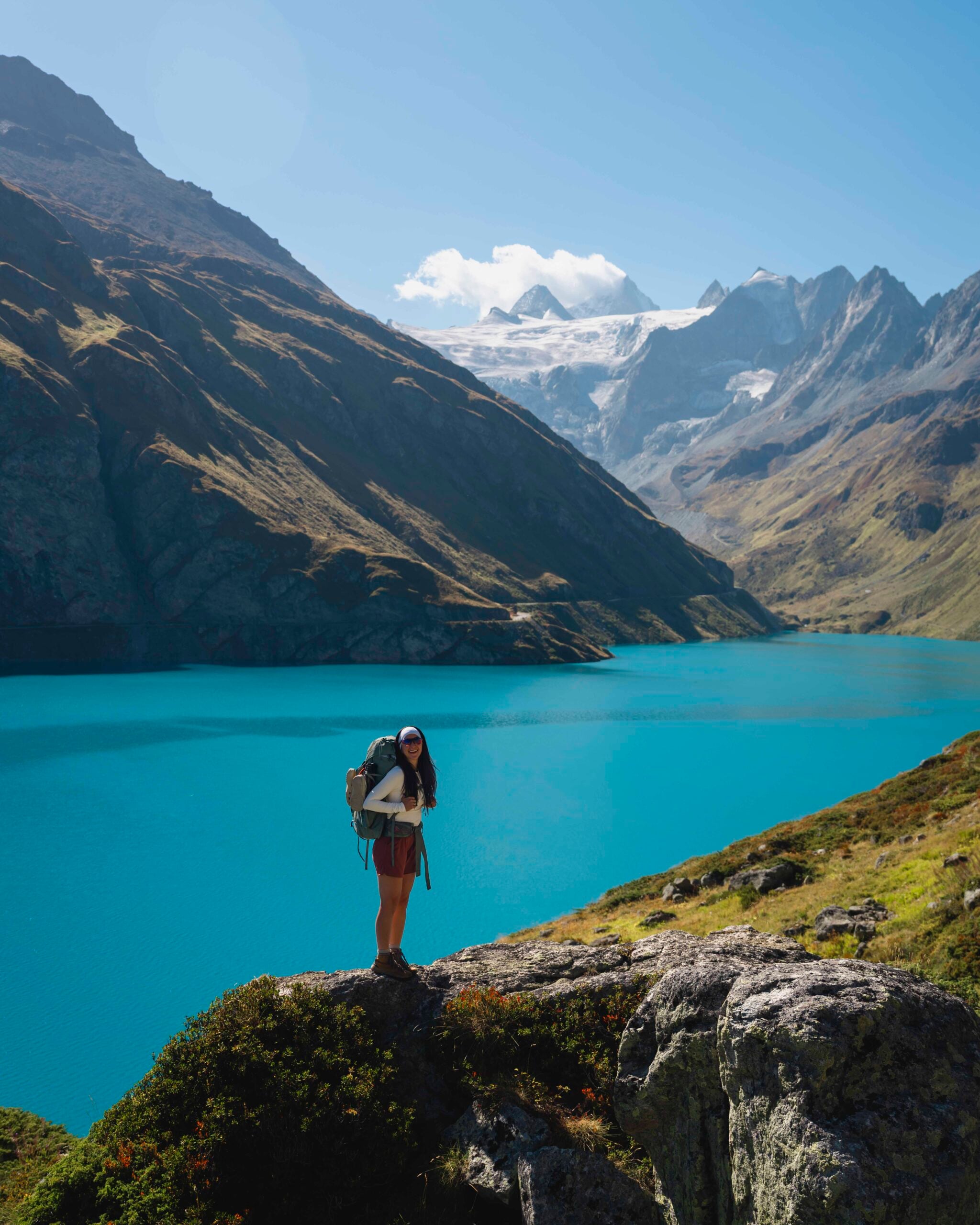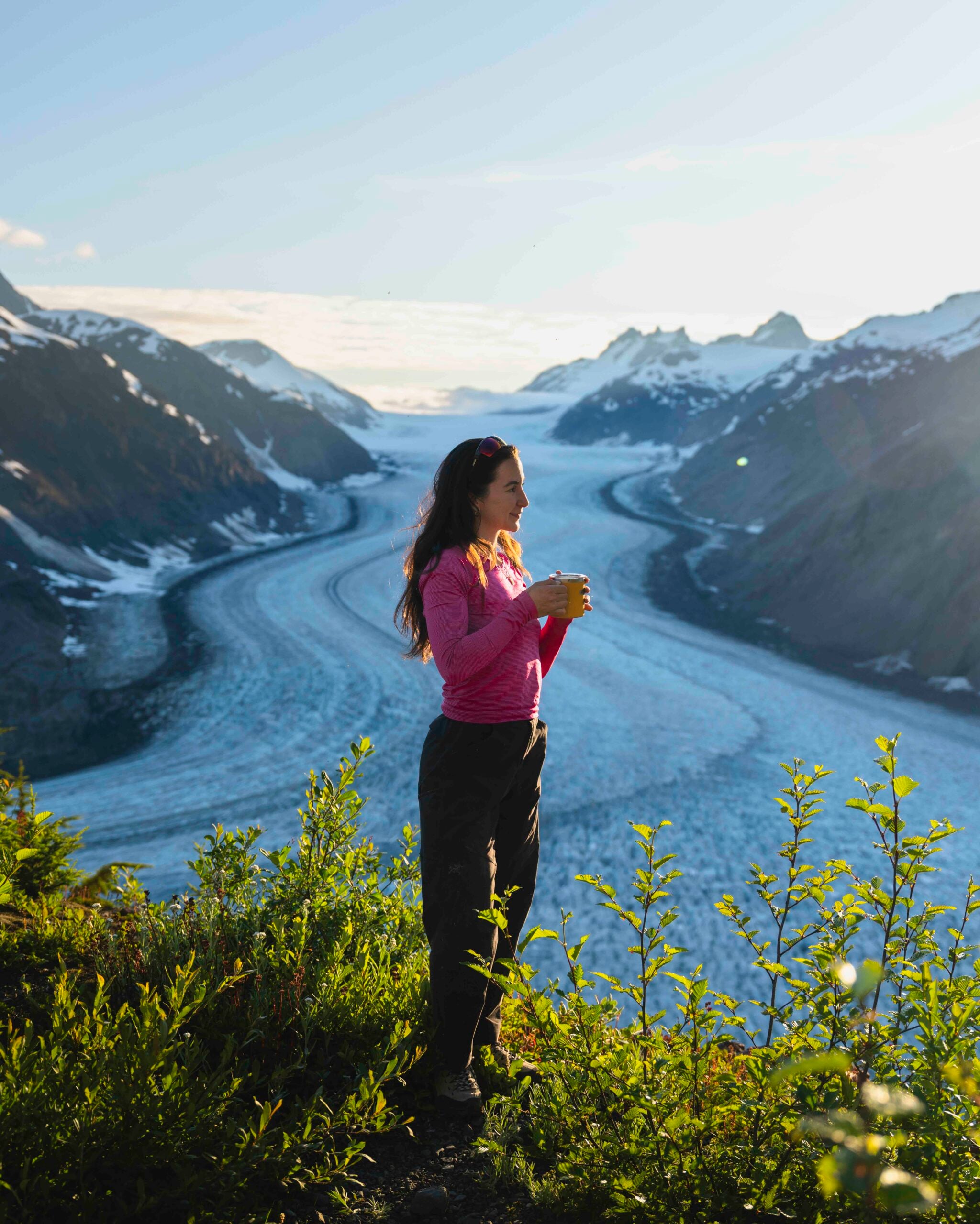
I recently drove the Stewart-Cassiar Highway (Highway 37) in Northern BC, and some of the best parts weren’t the bucketlist stops, it was everything in between. This road trip was pure adventure, and if that interests you, you’re in the right place!
In partnership with Lonely Planet and Destination BC, I spent a week driving one of the most remote highways in British Columbia. Here is my Instagram video about the trip, if you’re curious!
A note from Angela:
There are affiliate links in this post, Stewart-Cassiar Highway: Everything You Need to Know about Highway 37, and I may earn a small commission if you choose to purchase an item (at no additional cost to you). These funds go right back into creating free content just like this and supporting my small business.
- What is the Stewart-Cassiar Highway?
- Why You Should Drive the Stewart-Cassiar Highway
- What You Need to Know Before You Go
- How to get there and Car Rental Options
- My Highway 37 Road Trip Route
- Stops Along the Stewart-Cassiar Highway
- Important things to know
- What to Pack for the Stewart-Cassiar Highway
- Stops on Highway 97 if you’re doing a Loop
What is the Stewart-Cassiar Highway?
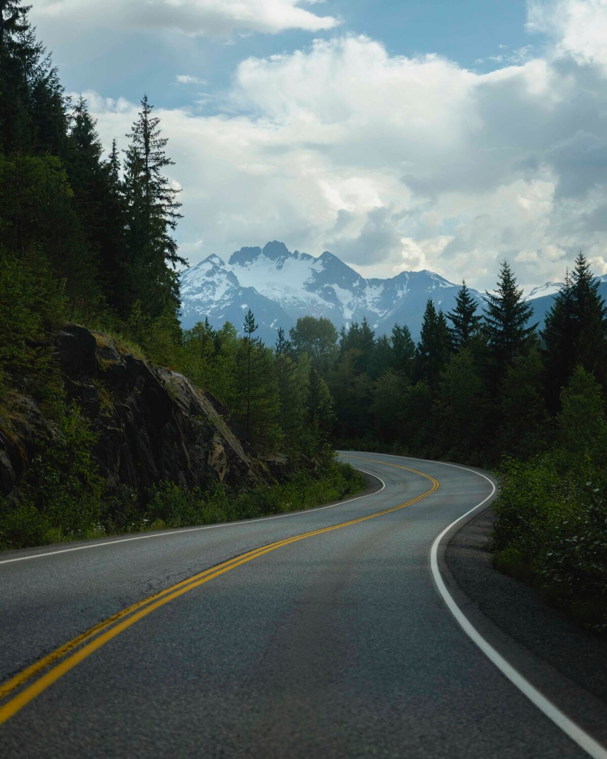
The Stewart-Cassiar Highway (or British Columbia Highway 37) is a 725-kilometer (450 miles) scenic route running from Kitwanga on Highway 16 in BC to the Alaska Highway just west of Watson Lake in the Yukon.
This route is one of two common options for people who are heading up to Alaska (or back down) in Northern BC.
Northern BC covers approximately two-thirds of BC’s total area and is the same size as California.
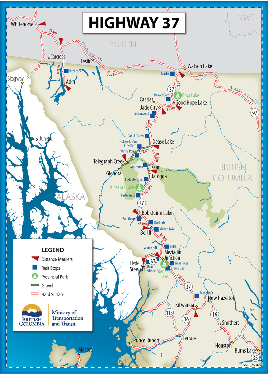
Photo courtesy of the Government of British Columbia
Why You Should Drive the Stewart-Cassiar Highway
If you’re looking for a road trip that feels genuinely wild, remote, and far removed from the usual tourist routes, you’ve found it. It’s the type of place where you will feel like you have gorgeous views all to yourself.
You will need to be mostly self-sufficient and to think of your food, gas, and water. You’ll be in the remote wilderness and see wildlife like black bears, grizzly bears, foxes, elk, and more.
What You Need to Know Before You Go
Best time to go
The best time to drive Highway 37 would be the summer season (June-August). In the summer, daylight hours are long, which will give you plenty of time to drive safely. You could run into some snow in the shoulder months, May and September.
How many days you need
I did this road trip in 6 nights, 7 days, and I felt like I had a good amount of time to see everything I wanted to see. This also allowed for some downtime to wait out some bad weather.
We drove at least three hours a day. If you drove straight, it would take about 14 hours from Whitehorse to Terrace.
Gas
Even if you know there’s a gas station on your way, it’s important to keep in mind that operating hours can change and gas availability can be inconsistent.
A lot of people on this road will have gas canisters attached to their rig because there are long periods of road without gas stations. If you’re able, I’d have an extra canister. That said, I didn’t have one because I didn’t want to store it inside my vehicle, and was totally fine!
I did gas up every chance I got (even if I wasn’t even halfway through my tank) and didn’t go too far off the highway, which is something to keep in mind.
Gas stations along the Stewart-Cassier Highway:
- Highway 37 / Alaska Highway Junction*
- Good Hope Lake
- Dease Lake*
- Iskut
- Tatogga
- Bell II (ps. this is the only place that has espresso/lattes/etc!!)
- Stewart*
- Terrece*
- Kitwanga
* Are stations that were the biggest
Cell Service
There is barely any cell service on the Stewart-Cassier Highway, so it’s important to be prepared before hitting the road. My friend got some service in Stewart, but I didn’t, so it depends on which carrier you have (I have Rogers).
I’d download an offline Google/Apple map and Spotify music/podcasts, screenshot any reservations, and do your research on where you want to stop beforehand.
I also strongly recommend bringing a Garmin inReach so that you’re able to communicate when you’re completely out of cellular range.
There is news of cell towers being added, which will help coverage in the future!
Food and groceries
If possible, I’d try and get everything you need before heading up the Stewart-Cassier Highway, as grocery stores are limited. I recommend doing a huge shop in Terrace or Whitehorse. Then, if you need a few bits, you can pick them up along the way.
There are a few small grocery stores, usually where the gas stations are. Not only is selection limited, but it’s often more expensive.
Water
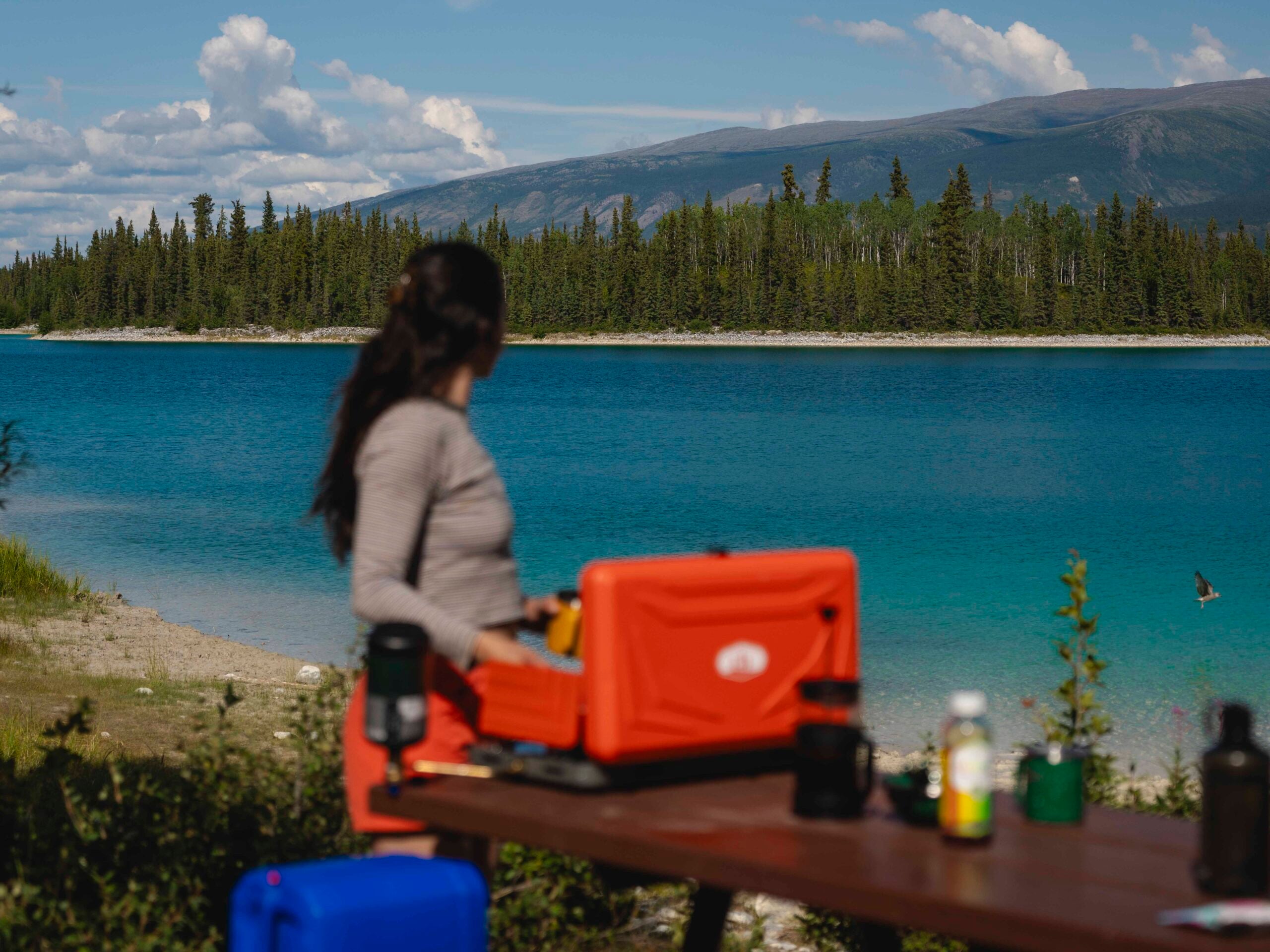
We carried about 15L of water with us. You can fill up at campgrounds, and also bring a water filter to filter additional water from rivers and streams you come across.
Accommodation
There aren’t a ton of accommodations or hotels along the highway. Most people camp in RVs, campervans, truck campers, and tents, but here are some good options I learnt along the way:
- Tatogga Lake Resort
- Vines and Puppies Hideaway: This cabin is near Jade City. When I come back,
- Bell II Lodge: This is a heli-skiing lodge, so it’s really nice. It also has a cafe with the only espresso/lattes I saw along the highway.
- Northway Motor Inn
If you can’t camp, I recommend booking your accommodation in advance.
Road Conditions
The Stewart-Cassier Highway goes through the mountains, so conditions can change fast. My biggest tip is to check the current conditions on DriveBC and live highway cams.
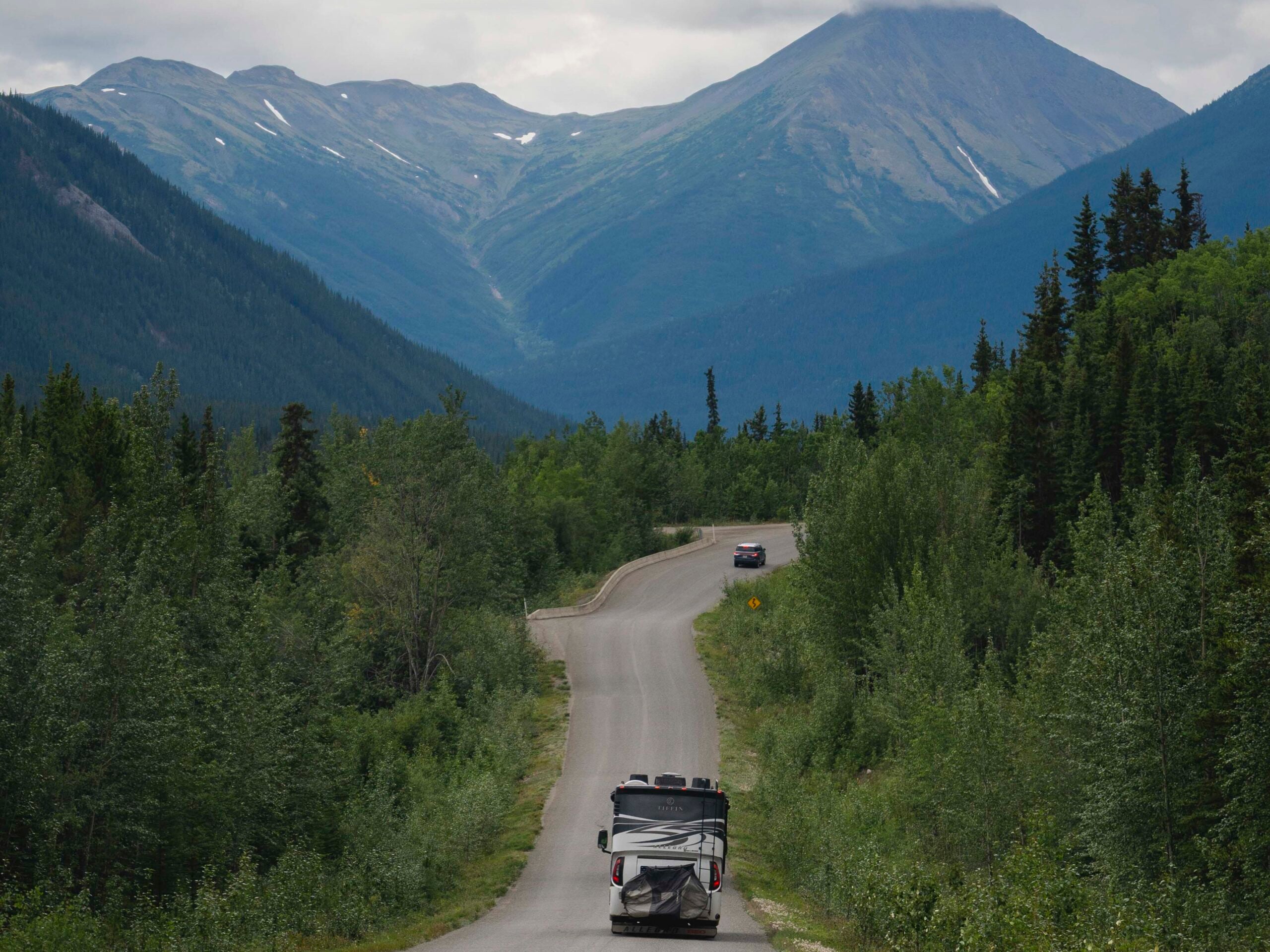
All roads are paved, apart from the road to the Salmon Glacier, which is a gravel road with some potholes.
Wildlife
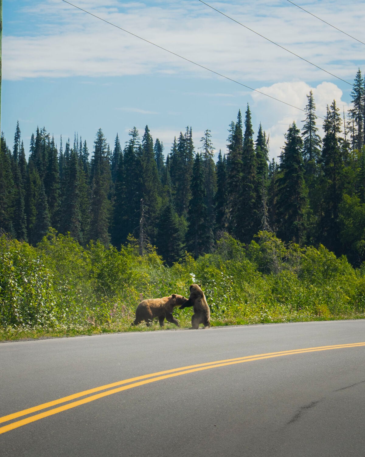
On your drive, you can see black bears, grizzly bears, moose, caribou, mountain goats, wolves, deer, birds, and more. In one week on Highway 37, I saw 15 bears and a fox, and also heard wolves!
It’s important to slow down when you see an animal along the road, and either safely stop at a distance or slowly move past. Remember to never approach any animal. Give them the space they deserve.
Weather
Like other mountainous areas, expect weather to change quickly. I packed for all seasons.
How to get there and Car Rental Options
You don’t necessarily need a camper, RV, truck camper, etc. for the Stewart-Cassiar Highway. That said, it would definitely be more comfortable. You could easily road trip in a regular vehicle and either sleep in the back or tent camp.
Since the roads are paved (apart from the road to Salmon Glacier), a 4×4 isn’t required, but AWD is always preferred for gravel roads.
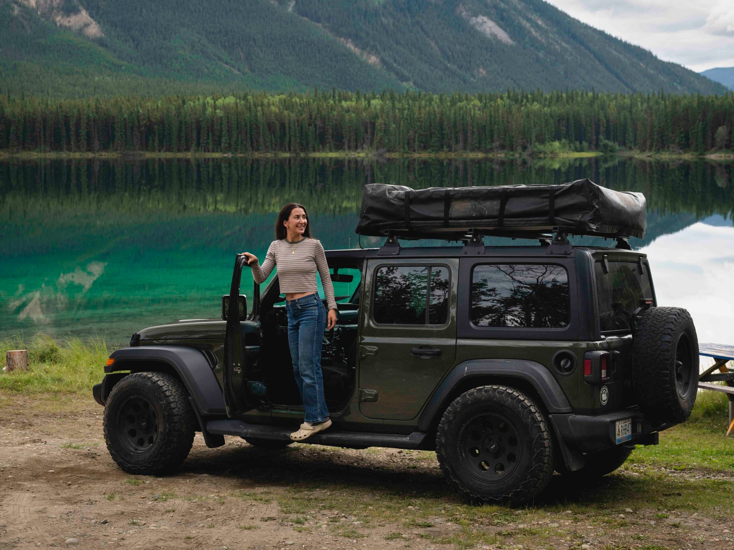
I rented a Jeep with a rooftop tent from Overland Yukon in Whitehorse. For this project, they were able to accommodate a one-way rental, but they don’t typically offer this, so you’ll need to return the vehicle to Whitehorse.
Here are a few options:
- Drive from Vancouver: Head north through the Rockies, then take Highway 37 and return via Highway 97 to make a loop.
- Fly to Terrace or Whitehorse: Drive Highway 37 and 97 as a loop.
- Fly to Terrace or Whitehorse: Drive Highway 37 and return the same way.
- Fly to Terrace or Whitehorse: Do a one-way road trip and fly home from the other city. This is the easiest way to avoid backtracking, but one-way rentals can be harder to find.
My Highway 37 Road Trip Route
I did a one-way route, but most start in Whitehorse or Terrace and do a loop that includes Highway 97. This would be the best/easiest!
I wanted to focus on the Stewart-Cassiar Highway, so here is the road I took:
Day 1: Whitehorse to Boya Lake
Day 2: Boya Lake to Mountain Shadow RV Park at Kluachon Lake
Day 3: Mountain Shadow RV Park at Kluachon Lake to Stewart
Day 4: Stewart to Salmon Glacier
Day 5: Salmon Glacier to Nisga’a Memorial Lava Bed Park Campground
Day 6: Nisga’a Memorial Lava Bed Park Campground to Terrace
Stops Along the Stewart-Cassiar Highway
Boya Lake
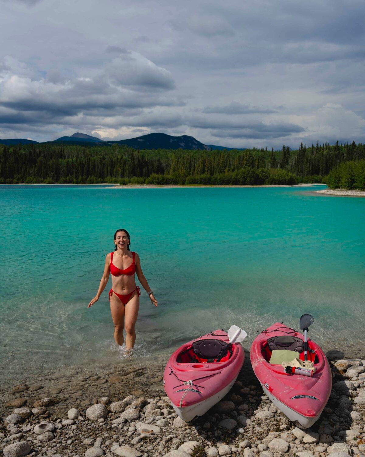
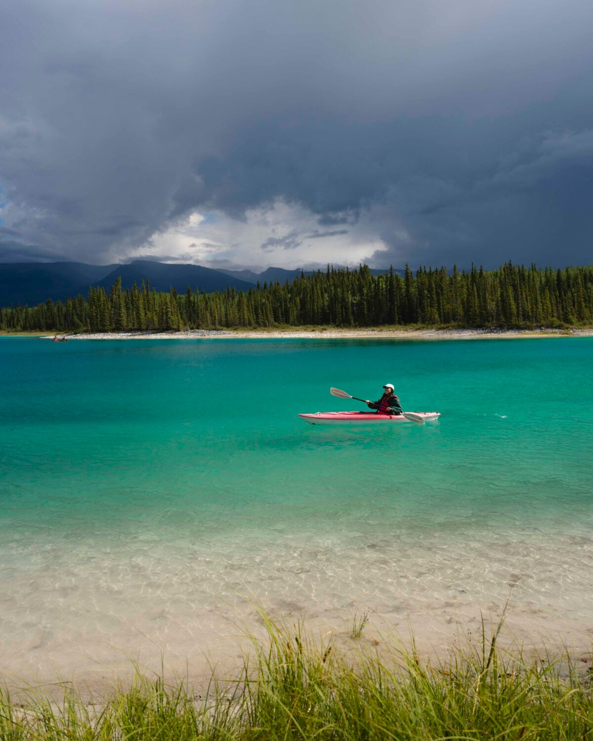
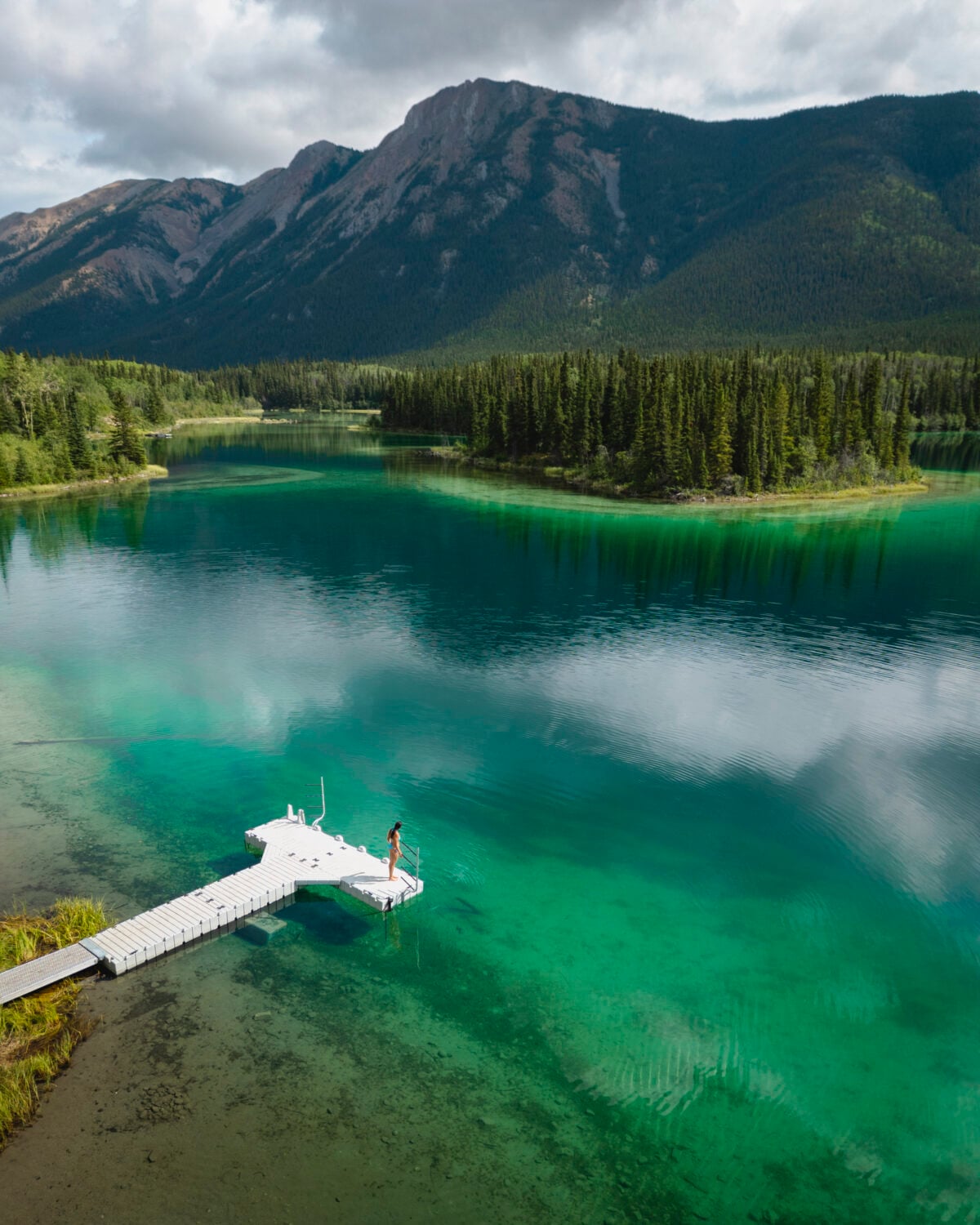
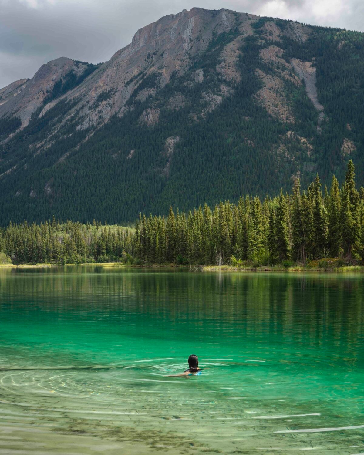
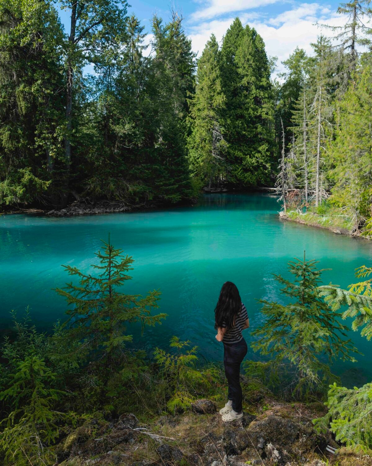
Boya Lake in Tā Ch’ilā Provincial Park (formerly Boya Lake Provincial Park) is one of the most beautiful stops along the Stewart-Cassiar Highway in Northern BC.
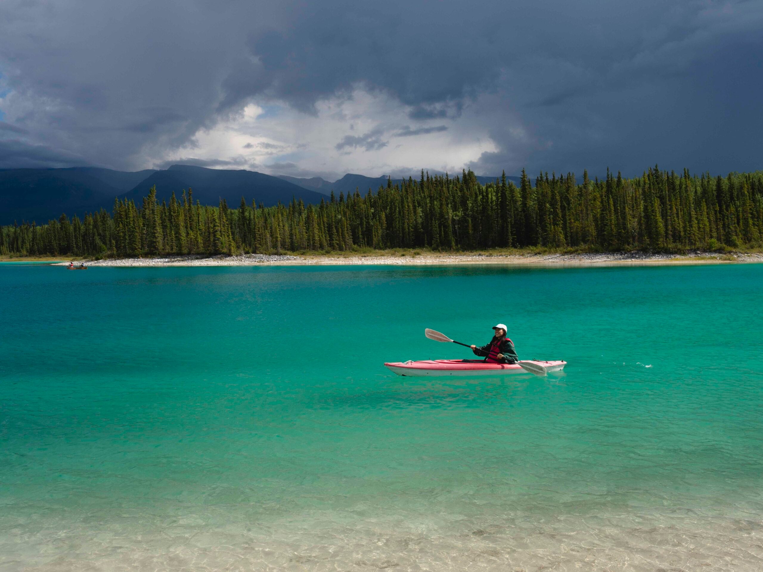
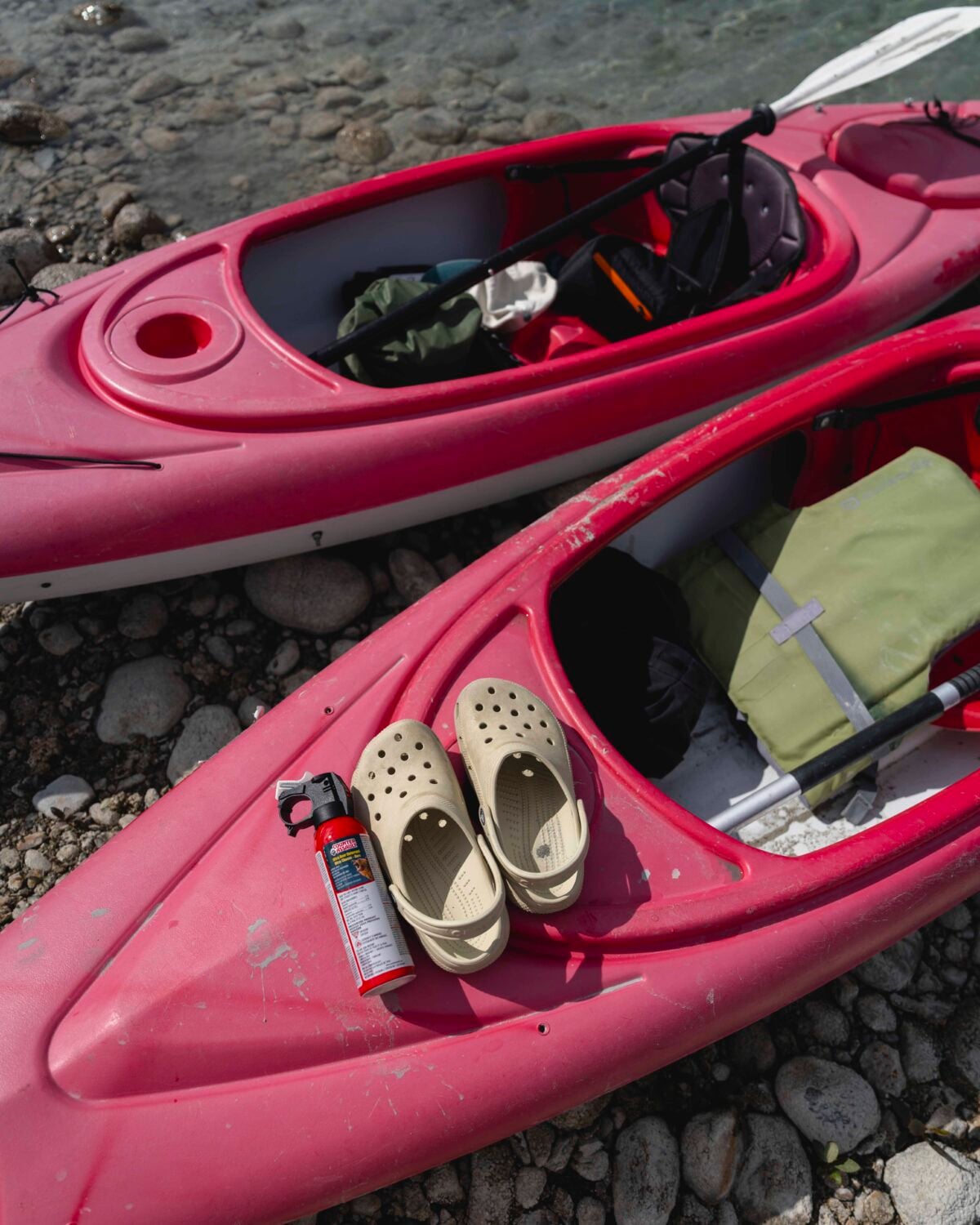
It is known for its beautifully clear, turquoise water and for having several islands/bays that make it really fun to explore. There are kayak rentals on the shore (to the right of the lake if looking at it from the campground and close to the boat launch) where you can rent a kayak for $20 for 2 hours. It’s an honest box system (some Northern charm for you).
There is a first-come-first-serve campground right on the shore, and I stayed here for 2 days and 1 night. If all of the spots are taken, there is an overflow parking lot for camping near the boat launch. The park ranger came around at night with firewood to purchase. Even though there was a fire ban in southern BC, there wasn’t one up north, which is quite common.
If you’d like to hike, there is a trail around some of the lake, and you can access it by the leftmost campsites.
A reminder: while it is tempting, there are no drones allowed in the park.
Good Hope Lake
After leaving Boya Lake, I stopped by Good Hope Lake in the Dease River First Nation.
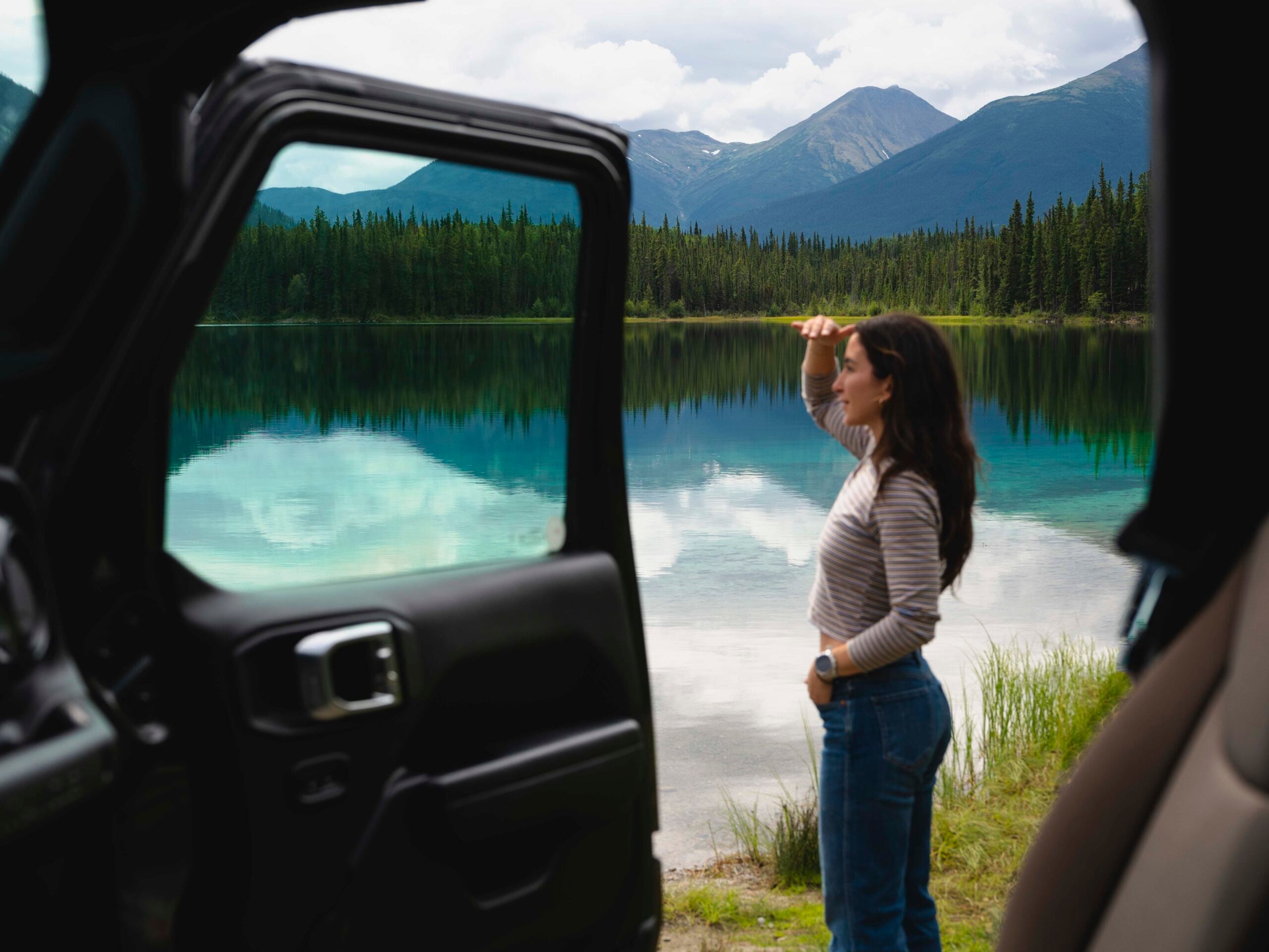
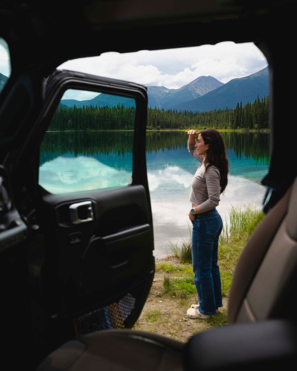
I didn’t know about this lake, and it wasn’t on our itinerary, but while driving, I saw a really turquoise lake so we pulled over to take a look. The water was incredibly clear, clean, and turquoise, a great temperature, and no one else around. A total gem in Northern BC!
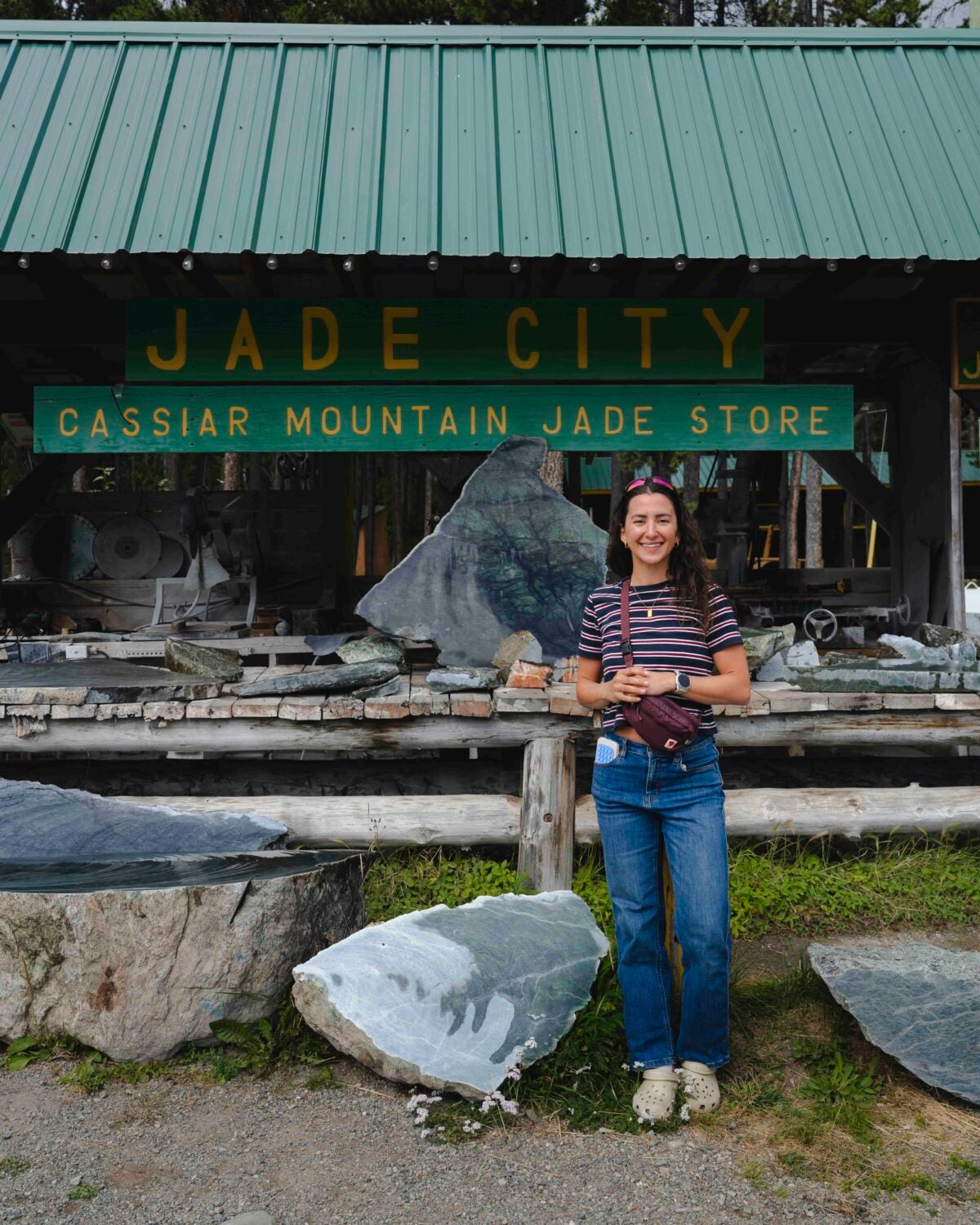
Jade City
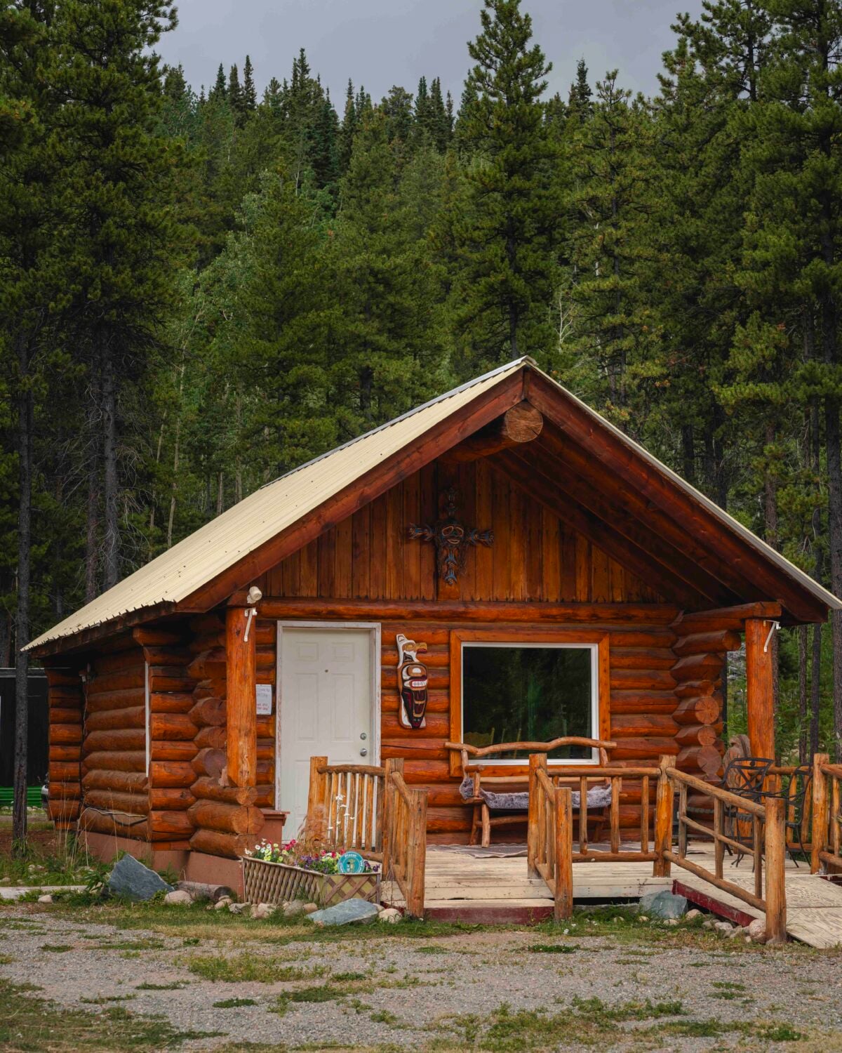
This stop was quirky and random.. and I loved it. Jade City was right along the Stewart-Cassier Highway and a perfect place to stretch your legs.
There are all sizes of BC jade for sale, including home decor, jewelry, and more.
Mount Edziza
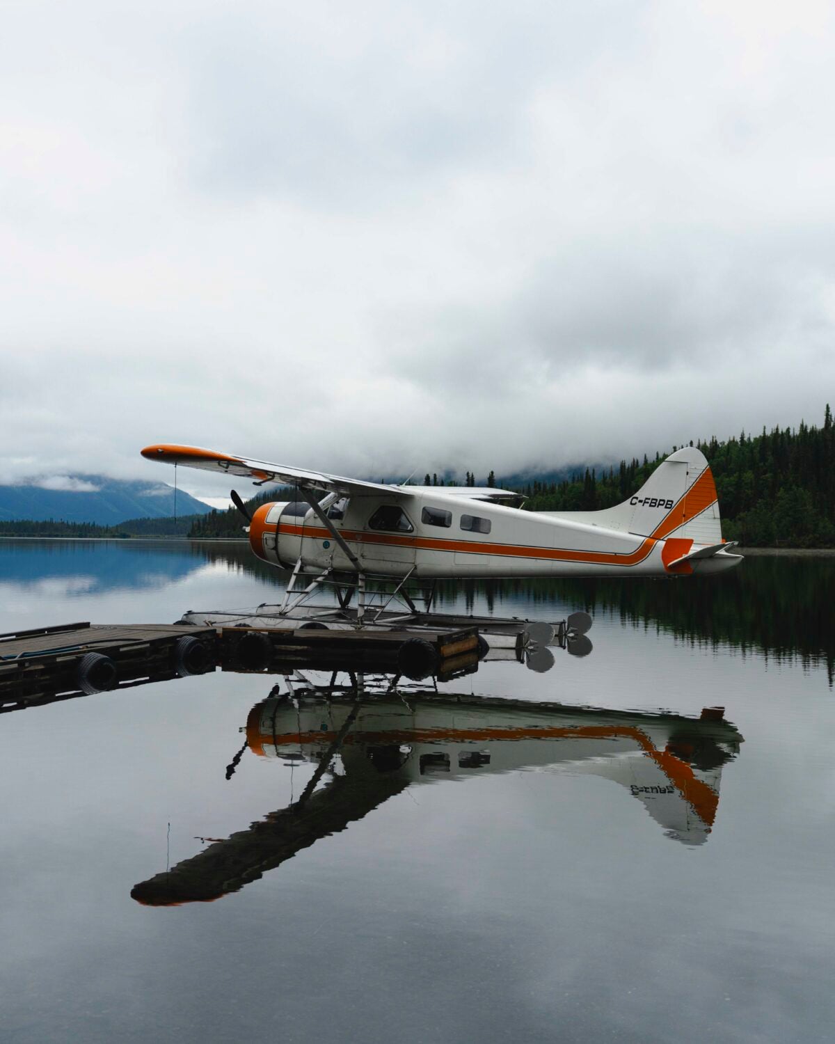
There is some really incredible hiking in Mount Edziza Provincial Park, and it is one of the most remote wilderness areas in Northern BC. It is accessed by floatplane only (or a very long backpacking trip), which adds to the adventure.
You can also take a scenic sightseeing tour with Klappan Air to see the Eve Cone (a cinder cone) and surrounding views. Unfortunately, the weather didn’t cooperate for me, so I don’t have photos to show you, but trust me, it’s worth the stop!
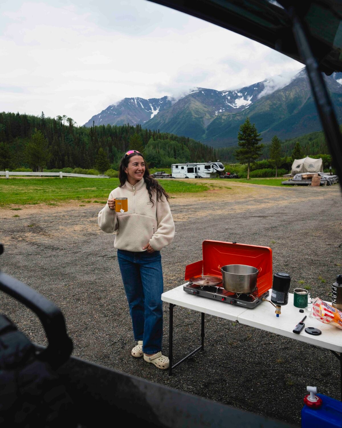
Mountain Shadow RV Park
This RV park isn’t even on Google Maps, but it was one of my favorite campgrounds. The mountain views are absolutely stunning. It is also the place sightseeing tours with Klappan Air leave from, so if you have that booked, it’s a great place to camp for the night.
The owners are so incredibly friendly, the campground has great showers, power hookups, and water.
Stewart
A small (but well worthwhile) detour (Highway 37A) will take you to Stewart, a small town of 400 people. Watch for wildlife along the road because it’s a very common area for grizzly bears. We saw two grizzly bears eating a dead black bear here.. and it was like I stepped into a nature documentary.
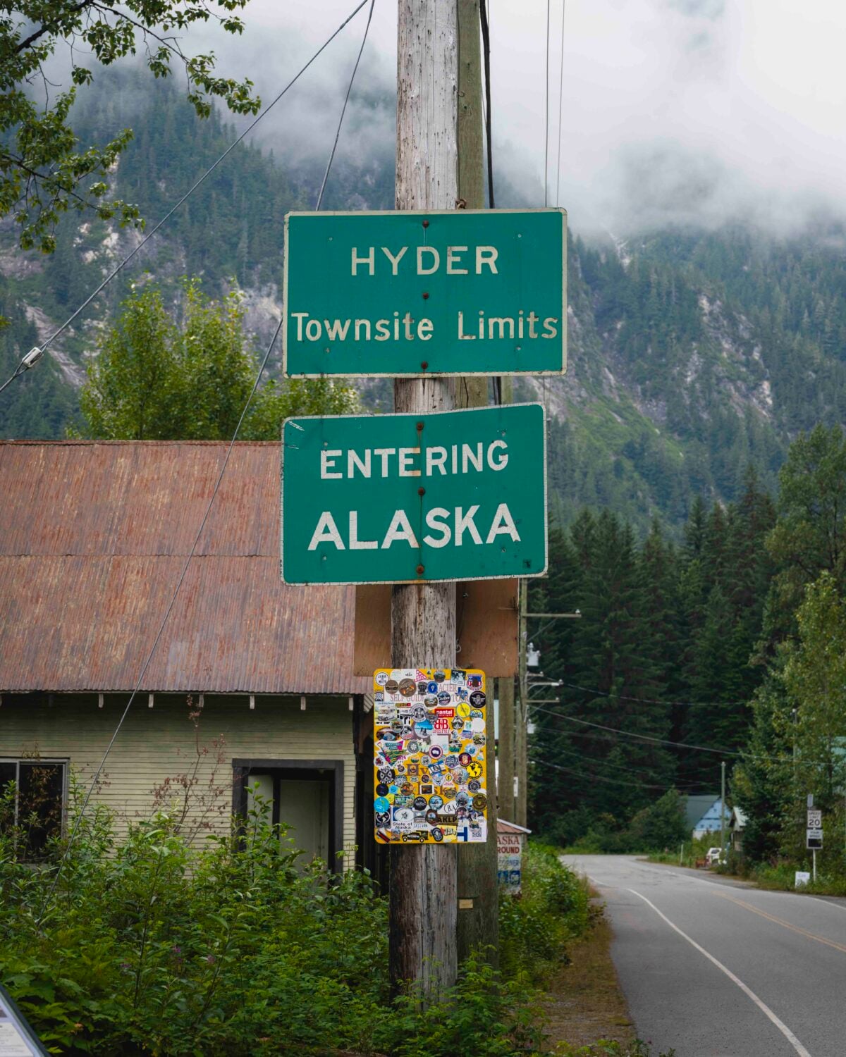
Stewart sits on the Alaskan border, immediately next to the even smaller American town of Hyder (bring your passport).
The town is only a few blocks with colourfully restored historic buildings. When I visited, there were two small grocery stores, a Mexican restaurant (food and margs are surprisingly delicious!), and a gift shop open. You can stop by the visitor center to get a Self-Guided Auto Tour that details the stops along your way up to the Salmon Glacier. Here is a PDF version in case you can’t pop by.
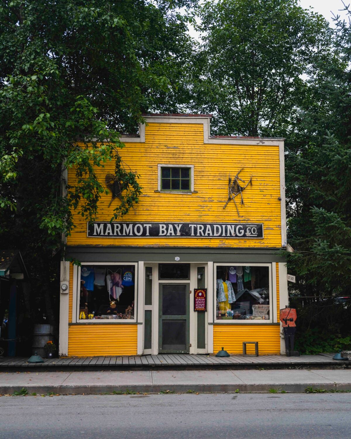
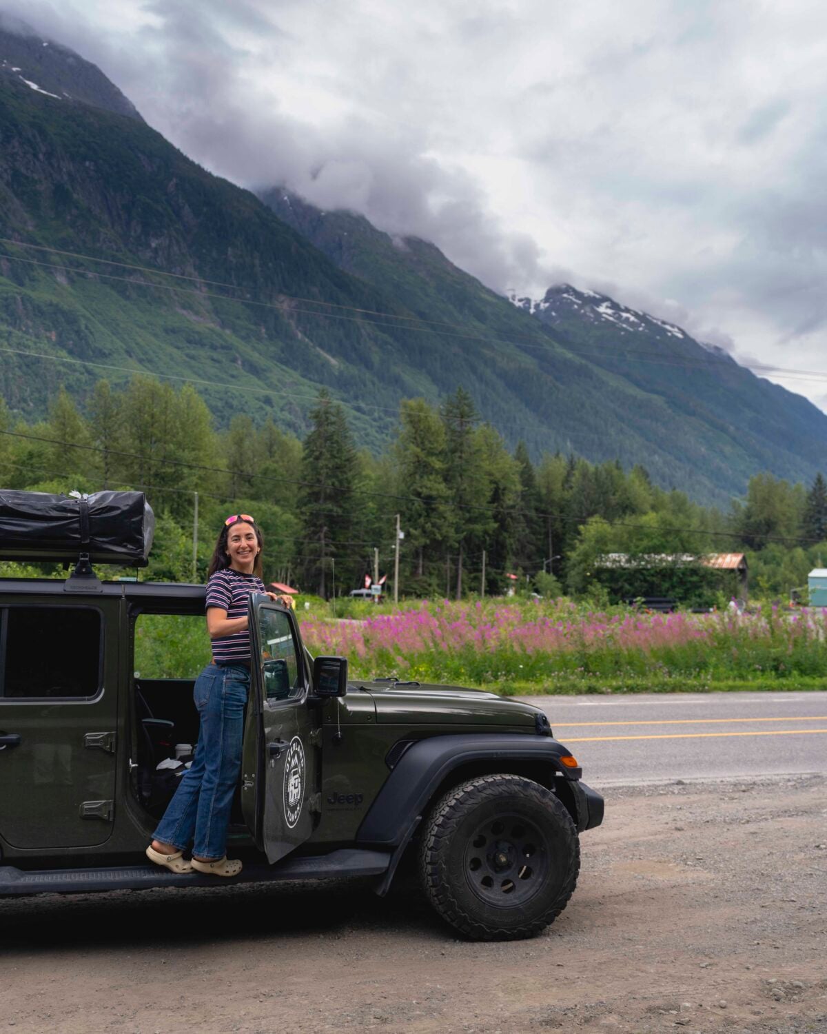
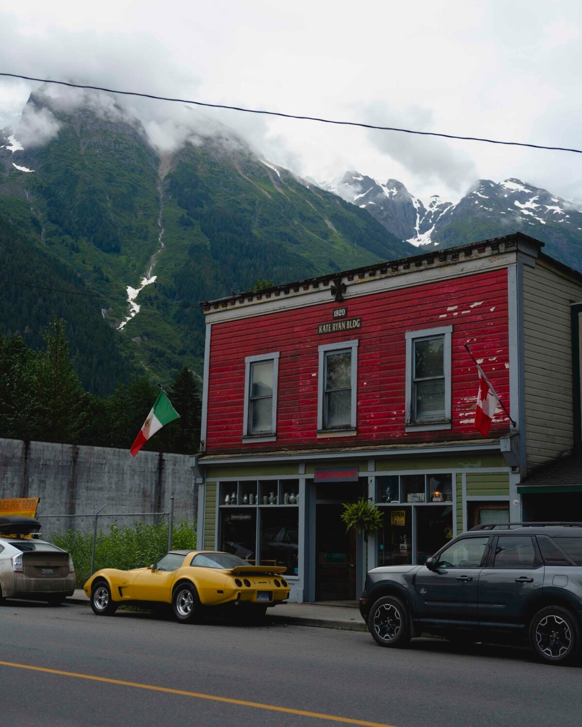
Hyder, Alaska
From Stewart, you need to go through Hyder, Alaska, to reach the Salmon Glacier. This town has even fewer residents than Stewart, and I saw only one gift shop open.
After posting my Lonely Planet/Destination BC video to Instagram, I got a few tips from people who had visited Hyder that I wanted to share.
There is a small fish and chips shop which could be called The Bus, Fish & Chips 2 Go, or Premier Seafoods. They serve freshly caught fish from that morning, and they seem to be pretty iconic. Hyder is very small, so if you keep your eye out for one of those names, you should find it.
The next tip was to“get Hyderized” at the Glacier Inn. After looking into it, it means you need to take a shot of nearly 100% liquor, which isn’t really up my alley, but I wanted to mention it either way.
I stayed at the campground in Hyder where there is no tent camping allowed, because grizzly bears frequent the area. They have buses and vans for the night you can rent in case you are camping.
It is also worthwhile to stop at Fish Creek Wildlife Observation Site in Hyder to spot bears feeding on spawning salmon between mid-July and early September.
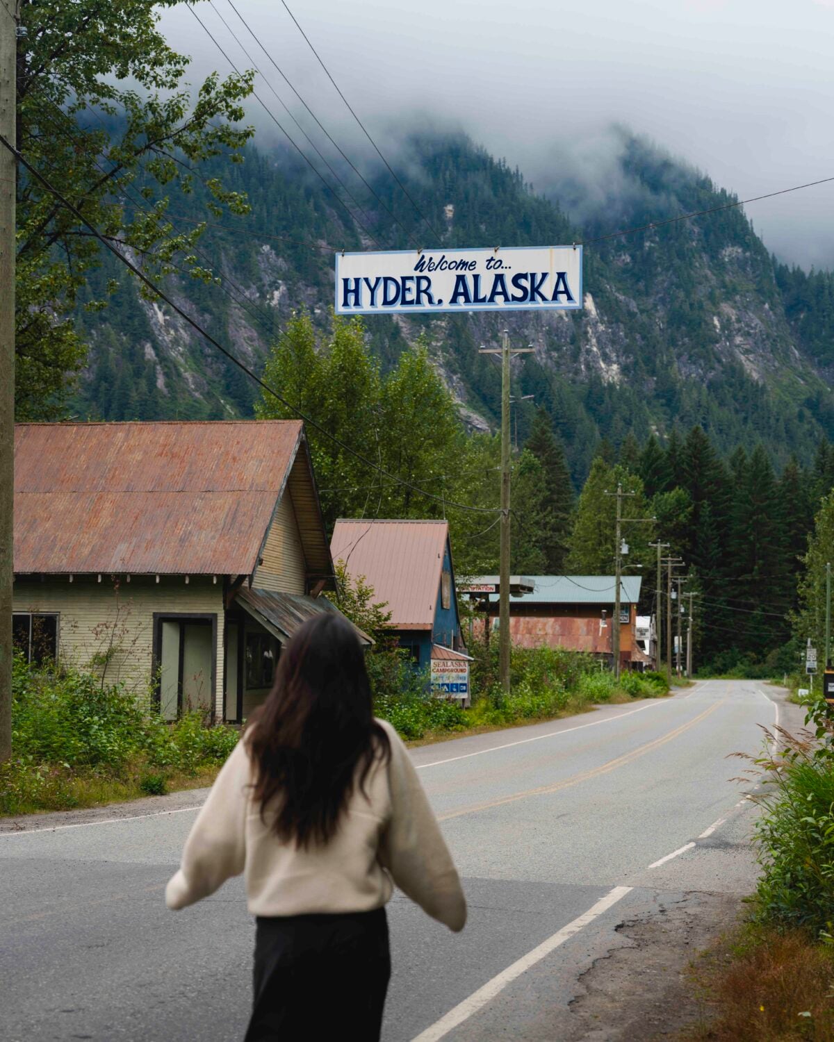
Salmon Glacier
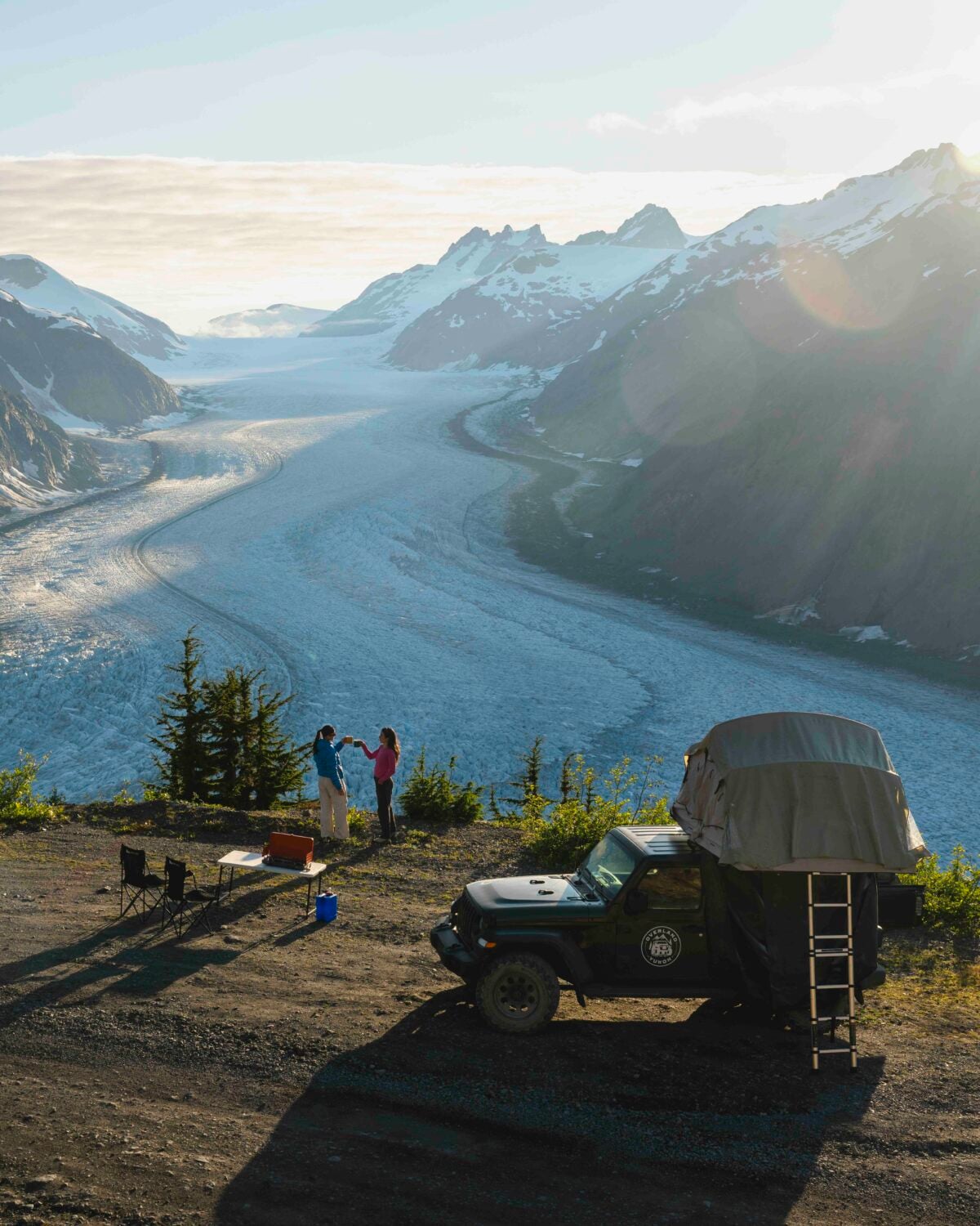
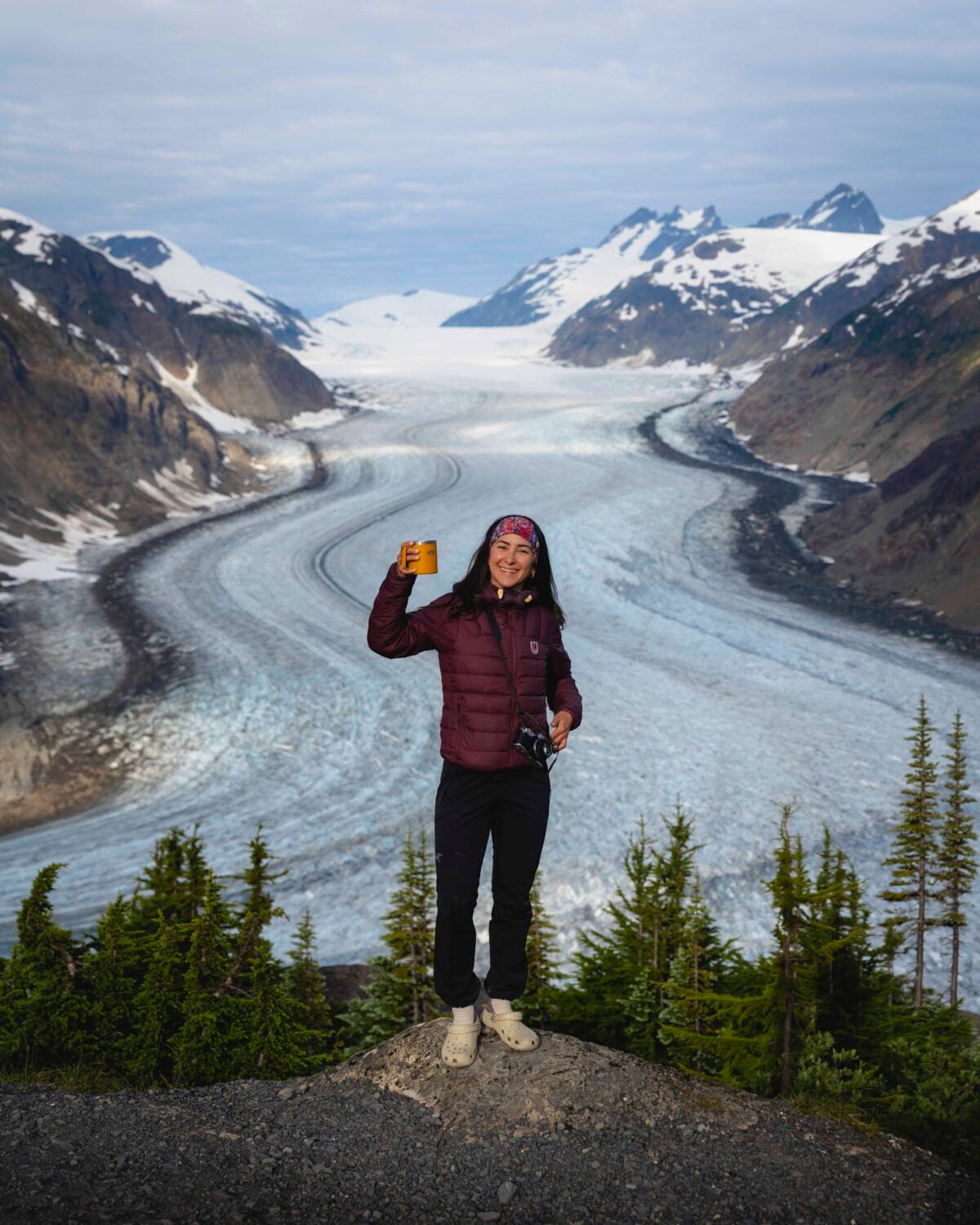
This was one of the most anticipated spots on the road trip, and it exceeded my expectations. The Salmon Glacier is the 5th largest glacier in Canada and the world’s most road accessible glacier.
You need to drive up a gravel road with potholes to get to the viewpoint, so ensure your car is capable of that because you won’t want to miss this! You are able to camp here, which is an unbelievable experience. Remember to take everything with you and leave no trace so many more people can enjoy this experience.
Bear Glacier
On the way to Stewart, you’ll drive right by Bear Glacier. It is really beautiful and worth a stop.
Nisga’a Lands
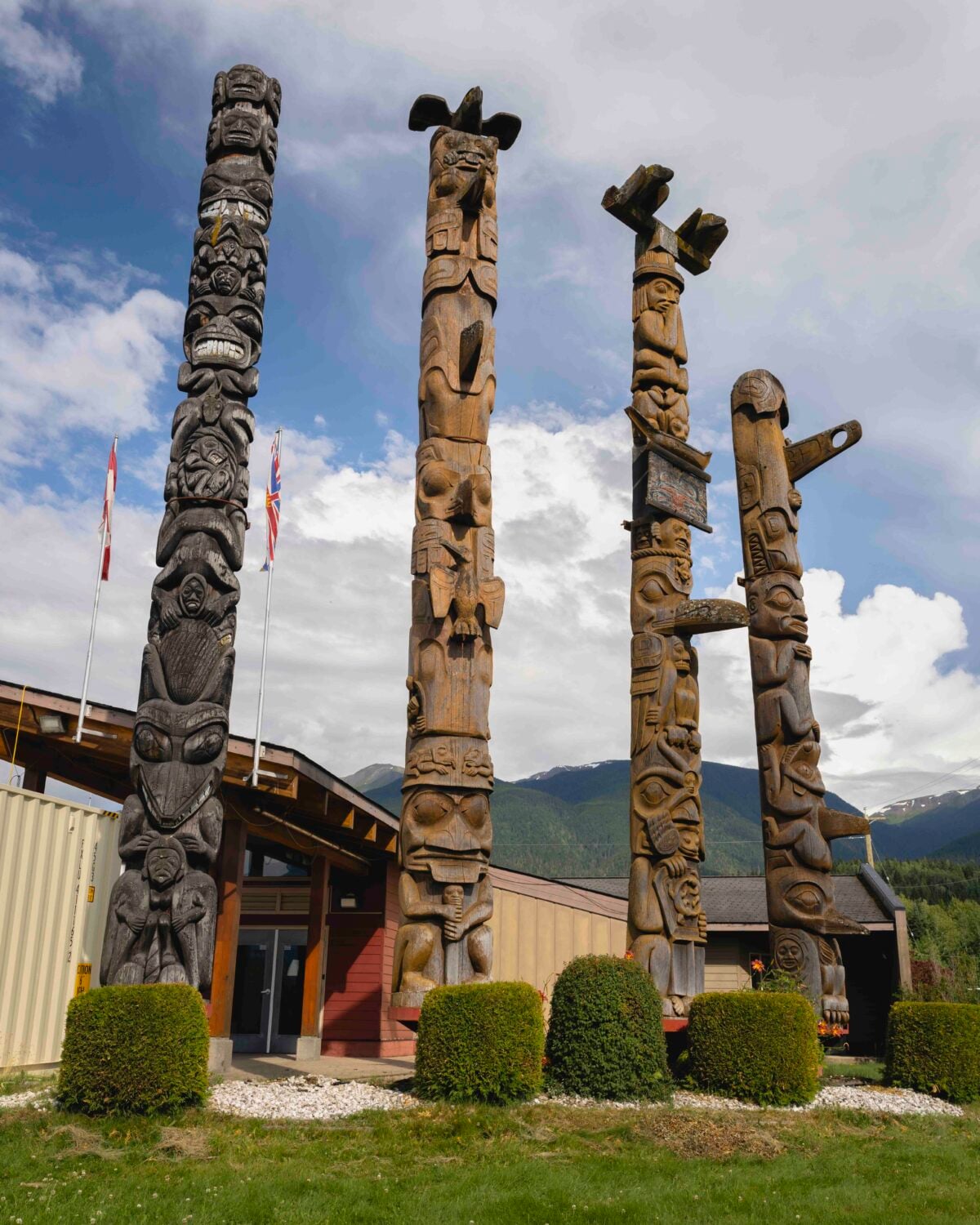
Another detour will bring you to Nisga’a Lands, which completely surprised me. We saw bears right away, some of the oldest totem poles in BC, and beautiful lakes.
You can drive an Auto Tour, which is self-guided and can be driven in any order. As you drive through the park and the Nisga’a Nation, you will see blue and white Auto Tour signs. Simply match their titles to the numbers below.
I especially loved the Drowned Forest and Lava Lake. I wasn’t able to explore each stop on the auto tour, but I will be coming back for the Nisga’a Museum! The volcanic landscape from a volcano eruption in the 1700s was something I never knew existed in BC.
You can explore old-growth forests, view the volcanic crater, and learn about the culture and legends of the Nisg̱a’a people through guided tours.
Terrace
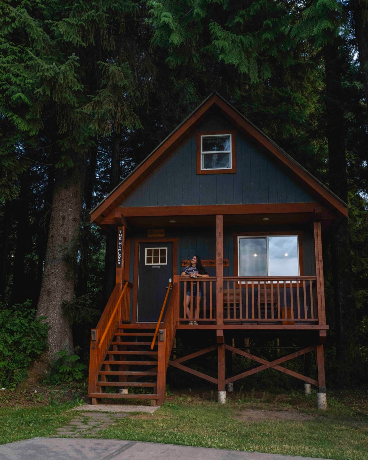
Once in Terrace, I immediately got takeout dinner and a pack of local beers and relaxed in the Hidden Acres Treehouse Resort. After a week on the road, it was exactly what I needed!
Important things to know
Learn more about the Highway 37 Stewart-Cassiar route
- DriveBC map
- View live highway cams
- Current conditions and events
- Plan your route
- View Highway 37 map or download printable versions.
What to Pack for the Stewart-Cassiar Highway
Even in the summer, it can be wet and cold, so I’d pack for it all!
- Layers – puffer, fleece, shirts, pants, shorts, etc.
- Rain gear – rain jacket and rain pants
- Bear spray
- First aid
- Food/water
- Garmin inReach
- Offline maps
- Portable charger
- Extra camera batteries
- Emergency supplies
- Spare tire/vehicle supplies
- Passport (for when you come back from Hyder, Alaska)
stops on Highway 97 if you’re doing a Loop
Come back for this section! I’m heading off into the backcountry and can’t finish it yet.